I hope your year is off to a good start. Mine sure is, I start a new career on the 5th so I am pretty excited.
Anyway, this past week off I had time to do some of the planning for a trip I have wanted to do for a couple of years now. A hike on the North Country Scenic Trail. This entry is just going over the maps and paperwork planning and that sort of thing. My gear planning, food and clothing will be along in future posts.
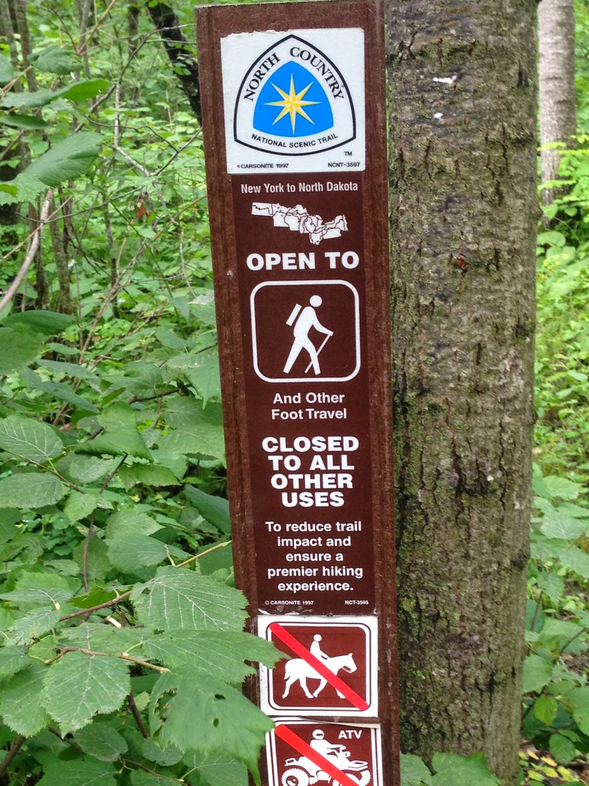
I've talked about it before but to give a quick recap it is a trail, very much like the Appalachian Trail. The NCT stretches from North Dakota to New York State, not as popular as the AT just yet but it is longer. The trail cuts through Minnesota in the Northern part of the state, passes through part of the Boundary Waters Canoe Area and skirts Lake Superior before slipping off in to Wisconsin and points East.

The terrain where it cuts through was formed during the last ice age as was much of Minnesota including our famous lakes. A large portion of the trail section I plan to hike follows an area that was created by the leading edge of glaciers that covered this part of the earth so long ago.This terrain is called moraine and what it means is the area is a mix of varied elevations,bogs and lakes, and some rolling hills. I've spent a lot of time in this part of the state since my family cabin is right there and I am familiar with the ground and excited to see more of it step by step.

The blue blaze on the tree in the above picture is the official trail marking of the NCT. Hard to tell in the picture but in this stretch the trail is just about 8 feet wide.
I've done some research now, online through the NCT websites and forums, they even have a face book page for the Minnesota Chapters a great resource to get area specific questions answered by folks that not only hike the trail but help maintain it. I was able to purchase maps covering the areas I am interested through them as well. Give their page a look for more information at North Country Trail or visit the Minnesota chapters face book page here.
So, I sat down with the 2 maps and a great guide book "Guide to the North Country Scenic Trail in Minnesota" put out by Big Earth Publishing Company and planned a route. The book is an excellent resource covering every aspect of the trail here in Minnesota. Mile for mile including service cities, access points and trail heads, interesting features etc...
I quickly found several easy day hikes available to me in the area I want to hike, close to my cabin and family if needed. I decided to plan a grand adventure of a week long trip. I expect to spend 5 days (4 nights) on the trail covering about 45 miles of it in total. This would basically just press several of those day hikes into one long one. I know some experienced hikers can do 45 miles standing on their heads but this is a first for me. The last time I put on any serious cross country foot miles I was in my early 20's and a young Infantryman. All along my planned route are what I call "bail out points". Trail heads, parking lots, small towns, highway crossing and such. Places I know I can get to that have good cell service so I can make a call if needed and get help. I'm not planning to fail but I think knowing where my outs are if I need them is important.
Route selection. It seems to make sense to start and stop at some kind of landmark that is hard to miss. The start point was an easy choice, the South Parking lot of Itasca State Park. The trail cuts right through the park and this lot. Itasca State Park is also the Headwaters of the Mississippi river and sees thousands of visitors each year. The end point will be at a camping area in The Chippewa National Forest right off Highway 34 between Akeley and Walker Minnesota, again, lots of traffic and visitors.
As an aside a hike of the trail across Itasca would be a great day hike and maybe even a good meetup for folks from the Bush Craft USA forums
Day One: South parking lot of Itasca State park East to the Amikwik campsite, about 12.9 miles. It's the first day so I will be fresh, this is the longest leg of the hike. The campsite should have 3 tent sites a fire ring and a privy and over looks a beaver pond. I will be filtering and boiling any water I collect on the way. Amikwik is Ojibwe for Beaver
Day Two: Amikwik campsite to the Nelson lake/Gulch Lake campsite, about 7.9 miles. Gulch Lake is a state run campsite, I will need to pay to camp here. 3 campsites, and other facilities available.
Day Three: Nelson/Gulch lake to Waboose Lake campsites, this section heads almost straight south. 9.7 miles Another established campsite with tent pads, fire rings, etc... Second longest leg of the trip. Waboose means rabbit in Ojibwe.
Day Four: Waboose lake back Eastward to Sprinkle Lake Road campsite about 7.3 miles. 4 tent pads, fire ring and privy. The campsite is on a spur 60 feet off the trail.
Day Five, last leg: Sprinkle Lake Road campsite 6 miles to the Shingobee recreation area of the Chippewa National Forest, my pick up point. After pick up a celebratory meal in Walker then 45 minutes back towards Park Rapids and th cabin for a weekend of recovery at our lake.
As I said none of these legs are very long or challenging, this is a relaxing trip. I left lots of time and hopefully energy to be able to stop and explore along the way.
Thanks for following along so far!
No comments:
Post a Comment